ABYSS Complex Environments Inspections
Complex Environments Inspections
Jurunature partner for complex environment inspections, Abyss gathers high fidelity data in difficult environments using the latest visual and dimensional (LIDAR) point cloud data and laser sensor technology, utilising the very best aerial drone, remote surface vessel or terrestrial scanners to capture an entire asset in a fraction of the time it takes through traditional data collection techniques.

Our cutting-edge AI system, Sentinel, analyses images captured in the field and raises an alert when it observes something outside the norm, enabling one team to safely conduct operator rounds on multiple facilities simultaneously.

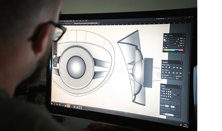
Combining real-world reality captured data with available engineering information to create hyper-accurate virtual versions of an asset with detail down to the component level; all contextualized and associated with a component’s metadata. Discrepancies between existing CAD and P&ID are a thing of the past.

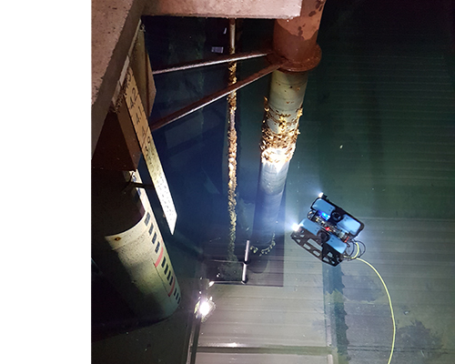
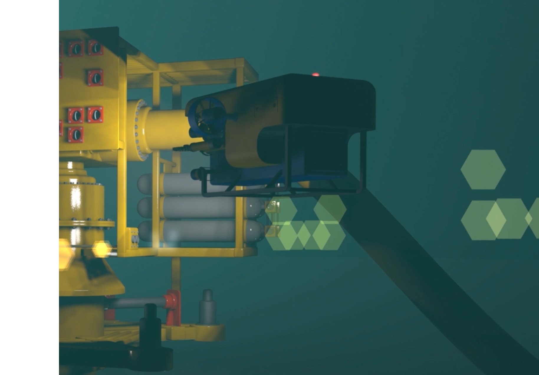
Providing cutting edge subsea solutions that deliver high fidelity imaging, sub-mm precision metrology, photorealistic digital twins and automated defect detection and trend analysis. Abyss can inspect subsea assets 5x faster than competing imaging solutions using contactless technology and minimising tool changes.

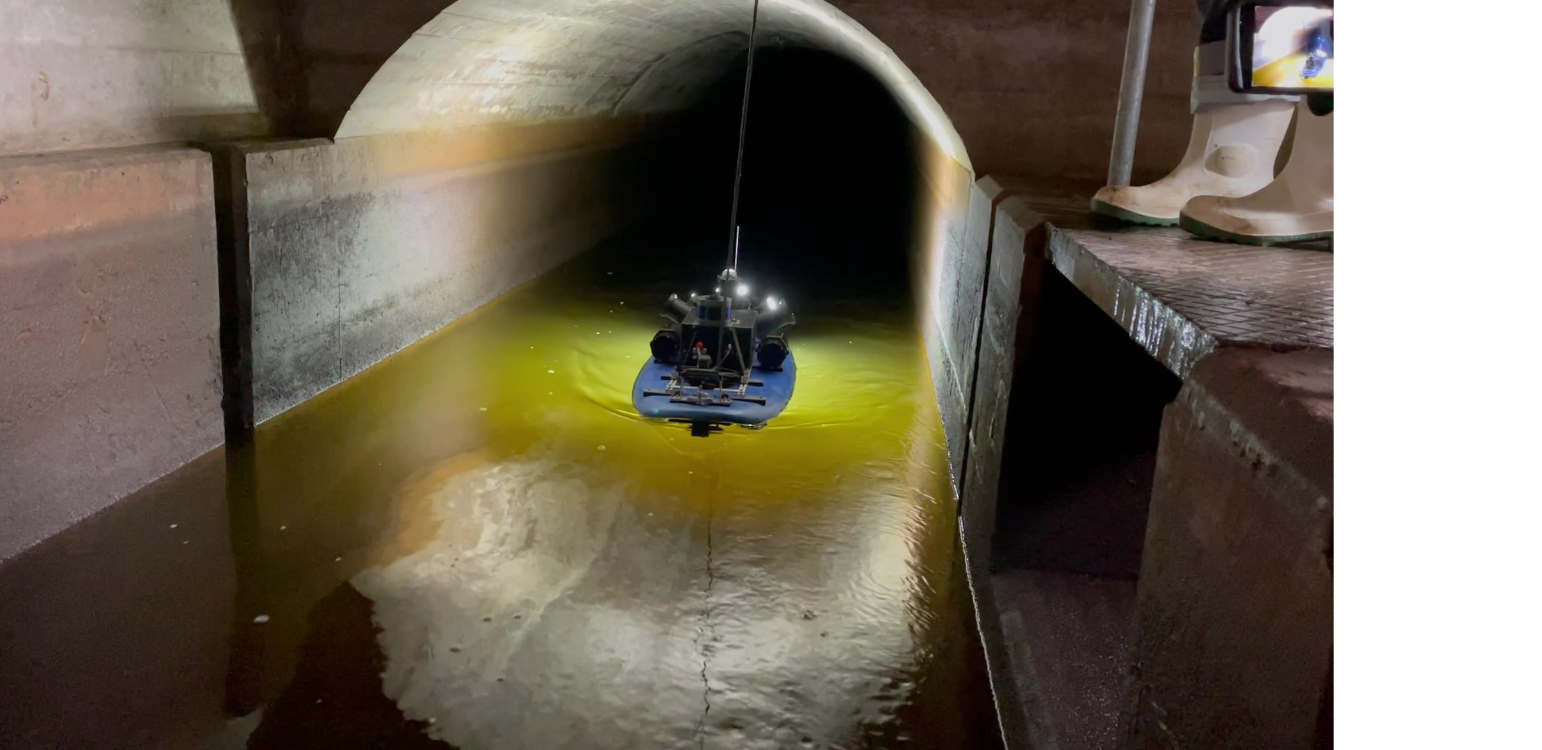
Utilising our propriety autonomous floating platform, Platypus, we conduct condition assessments of partially filled water tunnels (aqueducts), providing comprehensive inspection records of hard-to-access assets, helping drastically reduce the cost and risk associated with the inspection of crucial water supply assets.

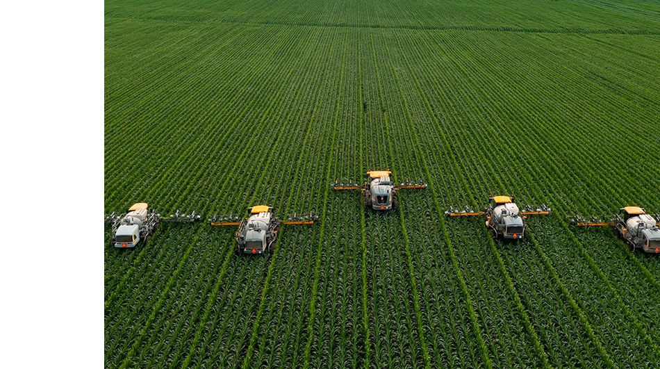
Utilizing drones and ground robots to build the smart farms of the future, generating and analyzing millions of images across over 80,000 acres per year to build highly reliable AI-based mapping systems for autonomous weed and crop detection and categorization.